Every so often, one stumbles unexpectedly across a real treasure. This happened to me recently as my son and I were browsing through a small local bookstore. We weren't there searching for anything specific, but we both enjoy books and thought we would glance around and kill some time with no intention of purchasing anything. That all changed when I noticed a gigantic book buried beneath a pile of pulp-fiction and recipe books. What I pulled out from underneath those forgettable books was a real surprise and joy to the historian, wargamer and cartographer inside me:
Maps of War by Ashley & Miles Baynton-Williams. This isn't an old book, nor it is a rare book - but it is glorious and I walked home with it under my arm for under 10 bucks.
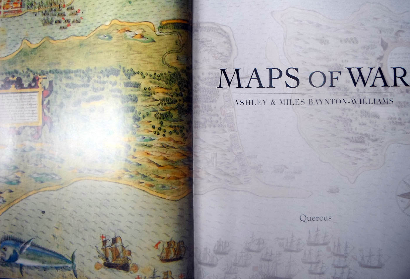
The book itself is massive, measuring 14" x 17" when closed, which allows for amazing detail in the maps - not to mention it looks splendid on the coffee table. From the inside sleeve:
From the Battle of Pinkie Cleugh between England and Scotland in 1547 - the earliest map printed in the British Isles - to the Boer War at the end of the 19th century; from plans for the advance of the British fleet at the Battle of Trafalgar to Napoleon's retreat from Moscow; and from the entrenchments of Bunker Hill to the plains of Waterloo, Maps of War presents an extraordinary range of battles on land and sea, painstakingly depicted by the cartographers of the time.
While the maps are beautiful and valuable on their own, I'm sure I will find some great use for these in some wargaming campaigns I have yet to dream up! Here are a few pages:
 |
| Cover page |
 |
| Battle of Waterloo |
 |
| Naval campaigns in the Seven Years War |
 |
| The Battle of Minden |
 |
| Plan of Preston during the first Jacobite Rising |
 |
| The Battle of Prestonpans |


Brilliant find. I love maps.
ReplyDelete